
 State Line Trail #738
Cedar Creek Road to Trout Creek Road
Hike Distance: 8.9 miles
Hike Time: 6 hours 20 minutes
Elevation Gain: 1100 ft
Difficulty: Moderate
Travel Time to Trailhead: 1 hour from Superior
Summary:
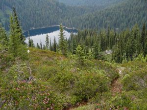
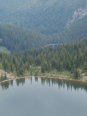
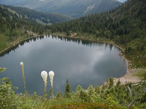
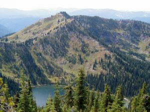
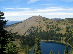
This is a historic trail featuring the site of the old Cedar Crossing Ranger Station, with two old abandoned mining trails that lead up to it, which the forest service eventually improved and maintained. It begins with a fairly steep climb, but then follows the ridge top with great views of St. Joe Lake, which is the headwater of the wild and scenic St. Joe River into Idaho.
Trail Overview:
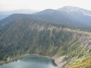
This is possibly the most interesting section of trail that I will be taking you on. It gives us a peek into the formation of the Rocky Mountains. We will pass St. Joe Lake, which sits in a glacial cirque formed during the Ice Age, this being the headwaters of the St. Joe River, which is designated as a wild and scenic river.
We will follow in the footsteps of the ancient Indians as they traveled, gathered food, and camped in this area during their presence some 3,000 to 5,000 years ago.
We will pass and travel on some of the trails used by the miners in their search for gold as they scurried over this divide on their way from the gold fields of the Clearwater River and St. Joe River in Idaho, to the gold stampede on Cedar Creek, Montana in the mid 1800’s.
We will also visit the site of the Cedar Crossing Ranger Station. It was set up by the USFS in the early 1900’s to be used by the Rangers and their stock as they built and maintained the trails in this area. The trail we are traveling on was the first trail constructed by the newly formed USFS in the early 1900’s.
We will also make a short side trip up to the lofty Illinois Peek at 7,694 feet. It is the highest point along the Bitterroot Divide in Mineral County. At this location a 72-foot steel tower lookout was constructed in 1938, which was in use until 1972 when it was abandoned and eventually packed out.
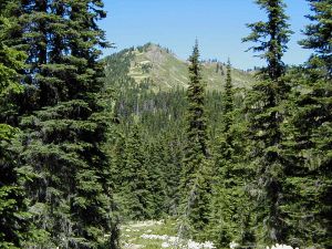
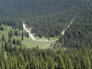
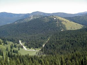
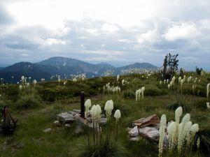
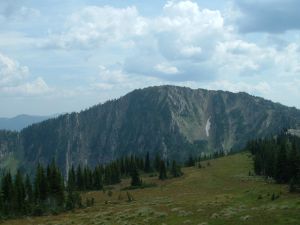
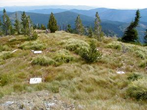
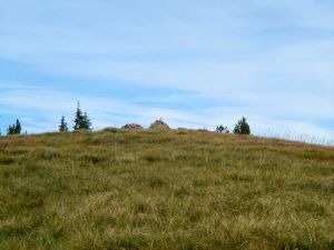
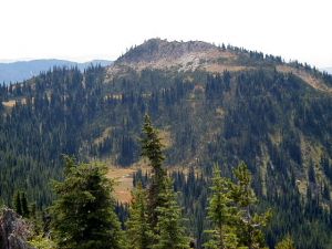
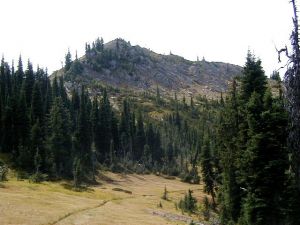
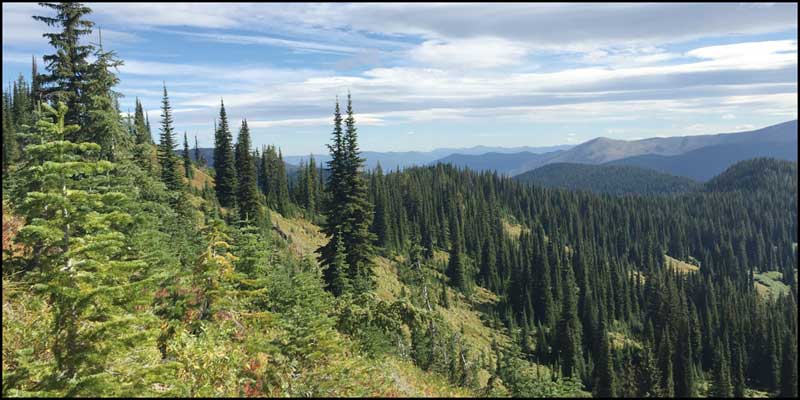 Top of the hill at Trout Creek looking west - Terry Cyr
Trail Statistics:
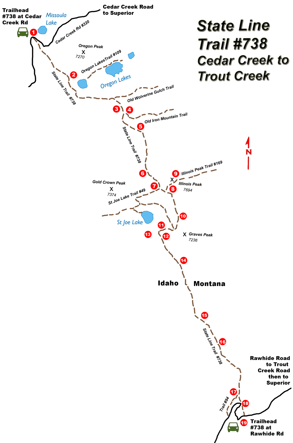
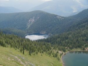
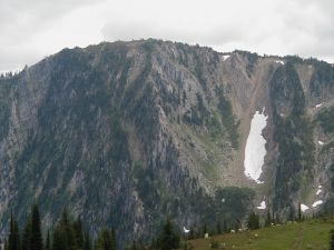
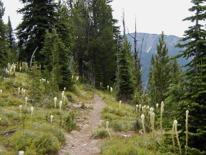
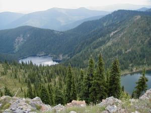
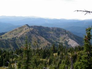
The trail climbs 400 feet within the first mile to a saddle from which you can view the Oregon Lakes on your left. This is a series of three lakes set in a glacial cirque about 400 feet below and looking down the Oregon Creek Valley beyond.
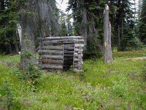
Continuing along the trail, you will cross an old miner’s trail coming out of Cedar Creek into the St Joe River. A little beyond you will come to the old Cedar Crossing Ranger Station where there is a small log building about 200 feet to the right and below the trail. You can also see the remainder of the old burned ranger station; which the Forest Service burned sometime in the 1940’s. This could have been later than 1940’s
There is a spring in the area that has been dry the past couple of summers. I was up there a couple of years back and it was the first time I saw it dry. It has run every spring and had water. I found a reference in Margie Hahn’s bookMules & Mountains: Walt Hahn: Forest Service Provider; who was her husband and packer, made reference to as being dry in 1934.
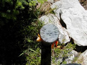
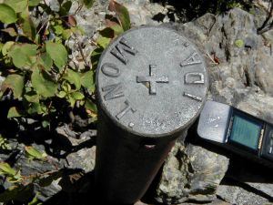
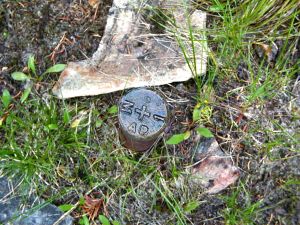
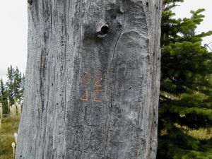
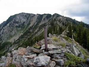
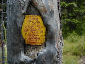
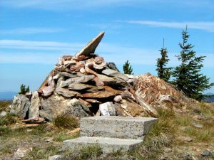
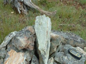
A short distance further you will find a state Line Marker reading AP#3 185.014 miles from Canada. To the left, a short hike over the top of the ridge, you will see the old Iron Mountain Trail coming out of Cedar Creek.
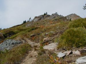
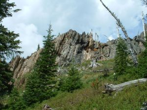
Continuing up the trail you come to a point where the trail crosses the ridge from Montana to Idaho and at this point you will start the most difficult to construct part of the trail through a steep and rocky terrain. Left and above the trail you will see rock formations standing almost vertical which were formed during the Earth’s early evolution when mountains were formed from volcanic rising. This is a very interesting geological area and what made the trail difficult to construct over this rugged formation.
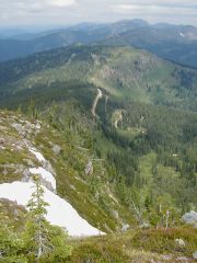
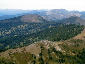
The next spot you come to will be a fork; the right will lead to the St Joe Lake, but continue left along the State Line Trail. A short distance further you will come to another fork with the left veering to Illinois Peak and the right continues the State Line Trail. The side trip to Illinois Peak is three-tenths mile with an elevation gain of 255 feet to the highest point in Mineral County on the State Line at 7,694 feet elevation. This was the site of a 72 foot steel lookout tower erected in 1938 and used until 1962 at which time it was dismantled and packed out. The views from here are spectacular in all directions. The view to northeast is of the Mission Mountains some 50 miles in the distance. On a clear day you can see to the mountains rising in Glacier Park 100 miles away to the north. To the southeast you can see the Bitterroot Mountains. Looking into Idaho you are overlooking the St Joe River drainage. Looking back to the north you can see portions of the trail we just traversed and the boundaries between Montana and Idaho beyond that.
Returning to the State Line Trail you will come to an open meadow in a saddle between Illinois Peek and Graves Peek at this point the St Joe River Trail rejoins the State Line Trail. A short distance down this trail you will find a spring and this one I have never seen dry making it an excellent place to camp. The ancient Indians camped in the meadow while in search of the white bark pine nuts and other food sources.
Follow the trail into a saddle below Graves Peak, where you now cross over into the Clearwater Drainage.
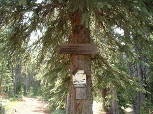
Following the trail around the side hill below Graves Peak coming back to the State Line in a saddle that is the head of Trail Creek. From here the trail leads through fairly heavy timber. The next saddle is the head of Trapper Creek. The trail then climbs to a high point from which you have a view of Hoodoo Meadows with the Trout Creek Road #250 running through it. Hoodoo Pass is just to the right, the State Line continuing beyond. Next you will come to a fork in the trail. Take the left fork to continue on Trail #738 to the trailhead at Rawhide Road. The right fork is Trail # 49 into Idaho.
Getting There:
From Superior go under the I-90 overpass, turn left on Diamond Rd, heading east. At 1.1 miles turn right onto Cedar Creek Rd #320. At 6.8 miles you will hit a fork, right is the Oregon Creek Road, but continue straight ahead across the bridge. At 14.5 miles you hit another fork, the left is Freeze Out Pass Road #388, but continue straight ahead. At 21.2 miles you will come to a junction with Big Flat Road to the right and the road to Oregon Lakes on your left, once again continue straight ahead. At 24.5 miles the road to the right leads to Missoula Lake Campground, (with out house) continue straight ahead and at 25.2 miles you will reach the State Line Trailhead. There is lots of parking and this is a great place to camp.
Approximately 1 hour driving timer from Superior with a total of 25.2 miles.

