 Clay Mayweather
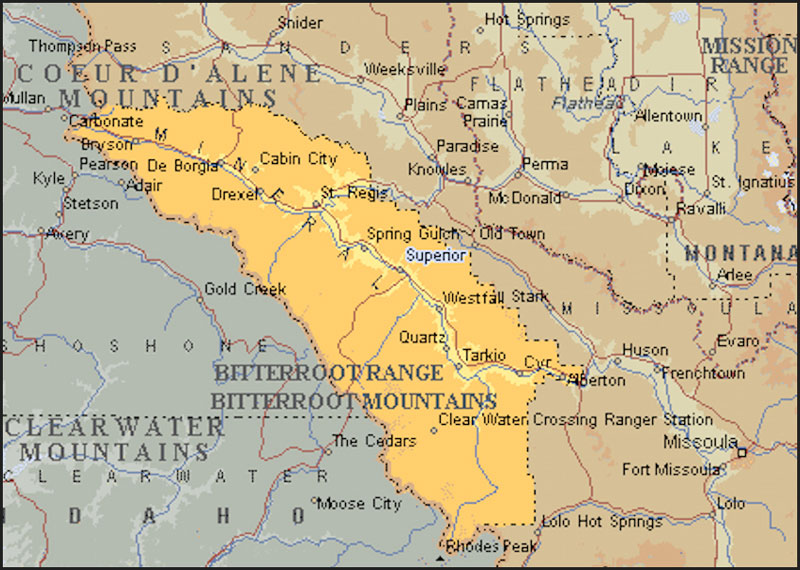
Mineral County, Montana
Although Lewis and Clark were the first explorers known to have recorded their travels through the geographic region known as Montana in 1805, it was John Mullan, first a lieutenant and later a captain in the U.S. Army, who left his stamp on the area. Nor was he alone in the task but helped and was helped by other notables in the region.
The first travelers in Mineral County were Captain John Mullan and his men in 1859. They were under orders to build a wagon road some 624 miles long that was to stretch from Walla Walla, Washington, to Fort Benton, Montana. Since no one, not even Indians, ever travelled this way, there were no trails to follow. It was a first road in the West to be built by engineering principles. The ability of Captain Mullan and his men is evident in that the route of their road was not changed for many years. The durability of the road is also evident in that several portions still survive and can be seen as you travel Interstate 90 through Mineral County.
In 1869 the discovery of gold on Cedar Creek by L.A. Barrette created an immediate stampede to the area. As among the first to arrive were merchants and businessmen from Frenchtown and Hellgate, which is now Missoula, it was considered one of the most lawful and organized of all gold rushes,
In 1870 a census showed just under 1700 people in the county with most engaged in some sort of mining activity. Ten years later only 265 persons remained with most becoming permanent residents and by 1900 the county was fairly stable consisting of merchants, trades and professionals.
At the present time there are several operating mining interests with placer mines still producing sizable amounts of gold. Silver, copper, lead and zinc are also of economic importance to the county.
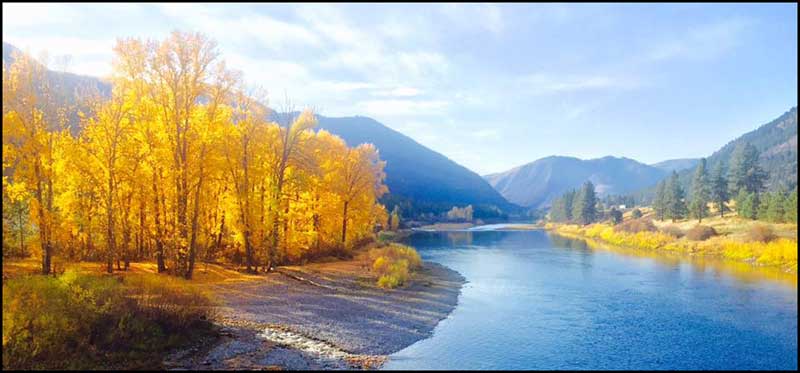
Situated in the western section of Montana, Mineral County is bounded by Missoula and Sanders counties and the state of Idaho. It has a total area of 1223 square miles and the Clark Fork and St. Regis rivers constitute almost all of the water surface area in the county. Most of the county topography is quite rugged with elevations ranging from 2500 to 8000 feet above sea level. Most of the land is covered by forests of the Lolo National Forest. The population is spread relatively evenly through the center of the county and generally clusters near transportation routes and the river valleys. Federal, state and secondary highways serve the county, including lnterstate 90.
From the Mineral County Information & Commerce website
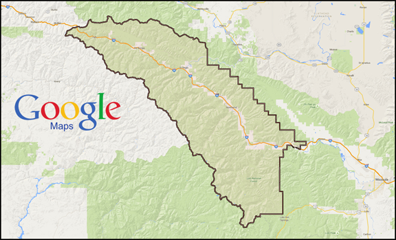
Click on map to activate Google Mapping